About Course
GIS for Transportation and Road Mapping
Introduction
Embark on a transformative learning journey with our comprehensive training course focused on the powerful applications of GIS (Geographic Information Systems) in Transportation and Road Mapping. This meticulously designed program equips you with the essential knowledge and practical skills to leverage GIS for enhanced planning, analysis, visualization, and management of transportation networks and road infrastructure. By understanding the core principles and diverse applications of GIS within the context of transportation and road mapping, you will be at the forefront of innovation, contributing to more efficient, safer, and sustainable transportation systems.
This intensive training course delves into the fundamental concepts of GIS and its transformative impact on various aspects of transportation and road mapping, from spatial data acquisition and management to network analysis and route optimization. You will gain practical insights into utilizing GIS software, analyzing spatial relationships, creating compelling maps, and making data-driven decisions for infrastructure development, traffic management, and transportation planning. Invest in your future and become a proficient user of GIS in the dynamic field of transportation through our specialized training course.
Duration
5 days
Target Audience:
- Transportation Planners
- Highway Engineers
- Urban Planners
- GIS Analysts
- Traffic Engineers
- Logistics Professionals
- Government Transportation Officials
Course Objectives:
- Understand the fundamental concepts of Geographic Information Systems (GIS) and their relevance to transportation.
- Identify key spatial data sources and data models used in transportation and road mapping.
- Learn how to acquire, manage, and analyze spatial data for transportation applications using GIS software.
- Explore various GIS techniques for network analysis, routing, and accessibility studies in transportation.
- Understand how to create effective maps and visualizations for communicating transportation-related information.
- Evaluate the application of GIS in areas such as traffic management, infrastructure planning, and safety analysis.
- Learn about the integration of GIS with other technologies used in transportation, such as GPS and remote sensing.
- Develop practical skills in using GIS software for solving real-world transportation and road mapping challenges.
Course Content
Module: 1 Foundations of GIS for Transportation
- Introduction to GIS: components, data types, and functionalities
- The importance of spatial analysis in transportation planning and management
- Overview of GIS software and its applications in the transportation sector
- Understanding coordinate systems, projections, and georeferencing for transportation data
- Data models for representing transportation networks and infrastructure in GIS
Module: 2 Spatial Data Acquisition and Management for Transportation
- Sources of spatial data for transportation (e.g., GPS, aerial imagery, LiDAR)
- Methods for digitizing and editing transportation features in GIS
- Creating and managing attribute data for transportation assets
- Database design principles for efficient transportation data management
- Ensuring data quality and accuracy in transportation GIS projects
Module: 3 Network Analysis and Routing in GIS
- Understanding network data models and connectivity in GIS
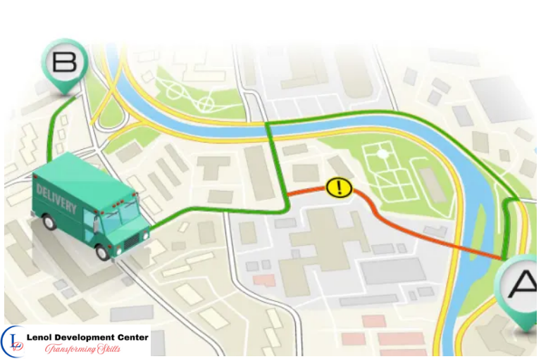
- Performing shortest path analysis and route optimization for transportation
- Analyzing accessibility and service areas for transportation facilities
- Implementing travel demand modeling and analysis using GIS
- Applying GIS for emergency response and logistics planning
Module: 4 Mapping and Visualization for Transportation Data
- Principles of cartography and map design for effective communication
- Creating thematic maps to visualize transportation patterns and trends
- Using symbology, labeling, and annotation to enhance transportation maps
- Developing interactive web maps and dashboards for transportation data sharing
- Integrating charts and graphs with maps for comprehensive transportation analysis
Module: 5 Applications of GIS in Transportation Planning and Management
- Using GIS for site selection and corridor analysis for new infrastructure
- Analyzing traffic crash data and identifying high-risk locations using GIS
- Supporting public transportation planning and optimization with GIS
- Managing transportation assets and infrastructure using GIS-based systems
- Applying GIS for environmental impact assessment of transportation projects
Module: 6 Integrating GIS with Other Transportation Technologies
- Understanding the integration of GPS data with GIS for vehicle tracking and navigation
- Utilizing remote sensing data for land use and transportation analysis
- Combining GIS with CAD and BIM for infrastructure design and management
- Integrating real-time traffic data with GIS for dynamic traffic management
- Exploring the use of mobile GIS for field data collection in transportation
Module: 7 Advanced Spatial Analysis Techniques for Transportation
- Performing spatial statistics and pattern analysis on transportation data
- Using spatial interpolation and surface analysis for transportation modeling
- Conducting spatial overlays and buffer analysis for transportation planning
- Implementing spatial regression and predictive modeling for transportation outcomes
- Analyzing spatial accessibility and equity in transportation systems
Module: 8 Future Trends in GIS for Transportation and Road Mapping
- The role of real-time GIS and big data in smart transportation systems
- Integration of AI and machine learning with GIS for transportation analysis
- Utilizing 3D GIS and virtual reality for transportation visualization and planning
- The application of cloud-based GIS solutions for transportation data sharing and collaboration
- Emerging trends in mobile GIS and location-based services for transportation.
General remarks
General remarks
- Customizable courses are available to address the specific needs of your organization.
- The participant must be conversant in English
- Participants who successfully complete this course will receive a certificate of completion from Lenol Development Center.
- The course fee for onsite training includes facilitation training materials, tea break and lunch.
- Accommodation and airport pick up are made upon request
- For any inquiries reach us through info@lenoldevelopmentcenter.com or +254 710 314 746
- Payment should be made to our bank